DAY 2 of Route 66 (Williams AZ to Albuquerque NM)

We stayed overnight in Williams AZ and checked-in in an overpriced mediocre hotel just 60 miles south of the famous Grand Canyon. The hotel room was clean but was located adjacent to the smoking area. Even though our door was closed we could still smell the cigarette smoke. I noticed a petite elderly lady who looked like she already had COPD but kept lighting one cigarette after another. The hotel offered continental breakfast- toast, cereals, muffins and watered down coffee. I noticed there were tourists from Germany, Ireland and England. I assumed they were going to the Grand Canyon.

Williams holds a unique place on Route 66 as one of the last towns to be bypassed by Interstate 40. Nestled along the western edge of the high country, it has retained much of its historic character while continuing to function as a small but vibrant community. The town’s location made it a natural hub for travelers coming off the long desert stretches from the east, and it served as a gateway to northern Arizona’s forests, mountains, and scenic routes. Route 66 shaped both the town’s growth and its enduring identity.
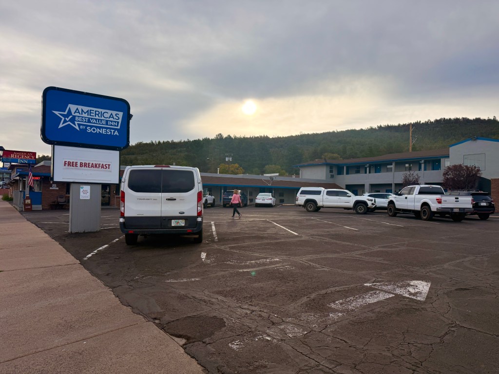
By the time we loaded our stuff in the car, the parking lot was virtually empty. We attempted to look for Starbucks but it was a futile endeavor – the small town did not have one. The weather was pleasant when we left. We found a gas station to fill up before proceeding and we also bought a much better tasting coffee here.

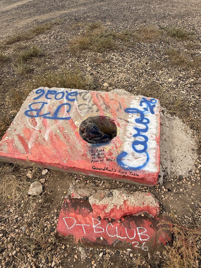
We passed a graffiti-filled abandoned shack with an arrow stuck on the ground. My Route 66 guide indicated that we were in Twin Arrows (although it’s now a Lone Arrow). One of the arrow was a victim of vandalism. I was disappointed by their senseless actions since these arrows have historical value and supposedly a roadside attraction!
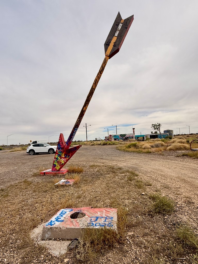
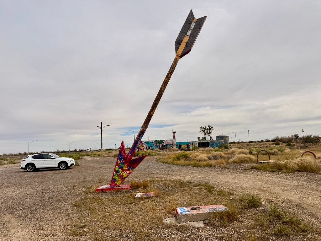
The base of one of the vandalized arrow

This portion of Route 66 is mostly incorporated with I-40 but you can still experience the drive in some parts of the freeway. The drive was very nice since I mentioned the weather cooperated and there weren’t that many semi trucks on the road. It was interesting to know that this part of Arizona was in a higher elevation – from 3,300 ft in Kingman to 7,300 ft at the Continental Divide.

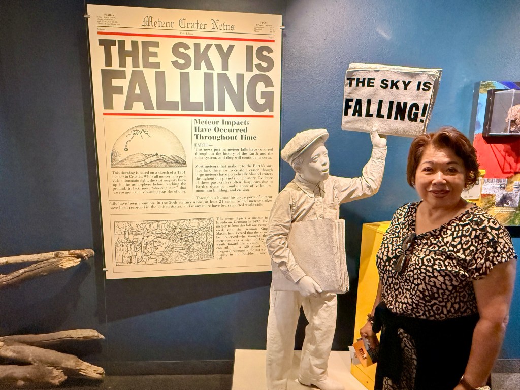
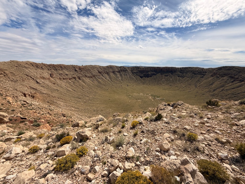
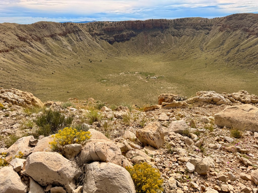
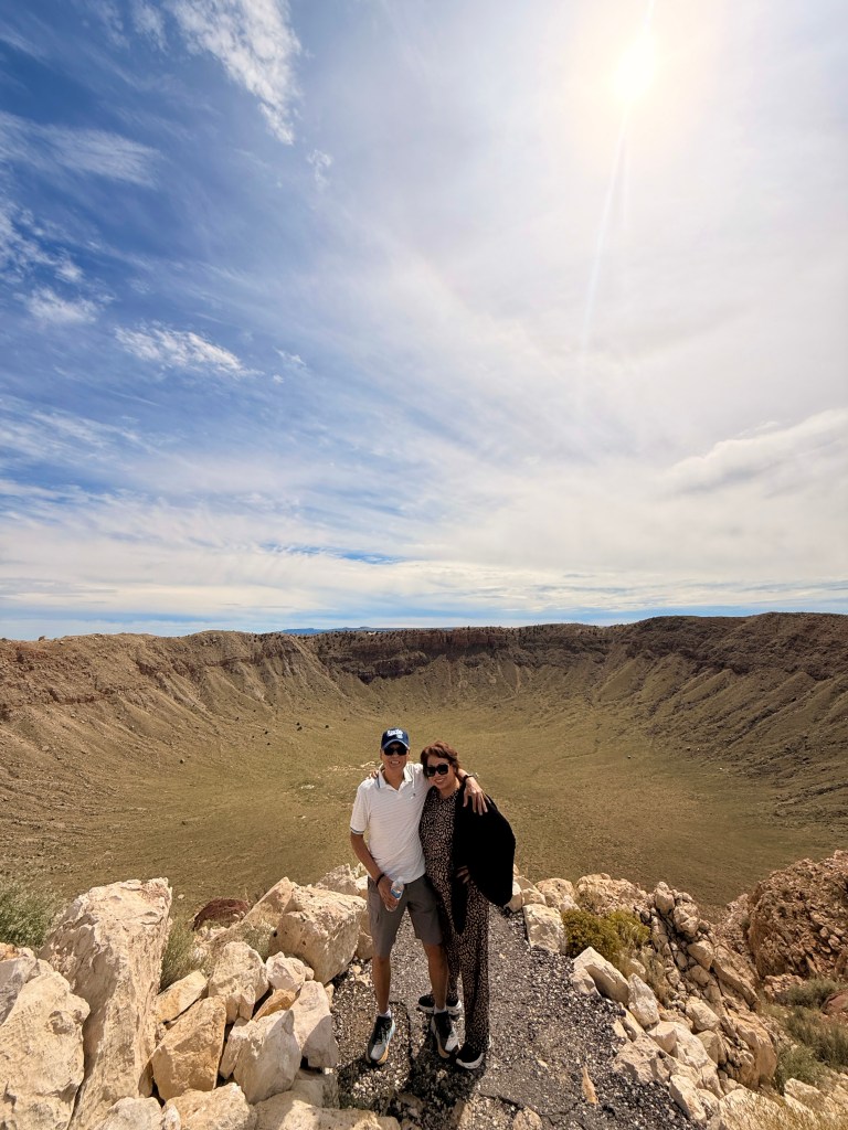
We drove on to go visit the famous natural formation – the METEOR CRATER! This is a private property and they charge you $27 per person including a group tour. It’s interesting to note that NASA used this crater to train their astronauts in the 60’s including Neil Armstrong and Buzz Aldrin who were part of the first humans to set foot on the moon!

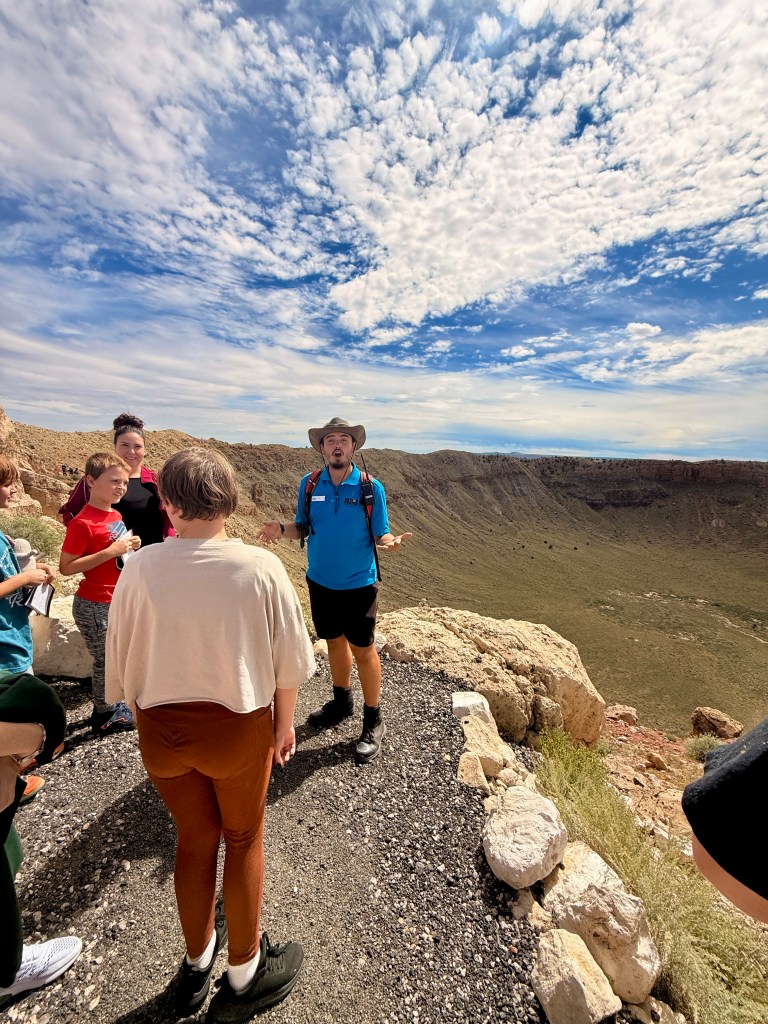
Over 50,000 years ago space and earth came together when a huge iron-nickel meteorite 150-feet wide and several hundred thousand tons impacted an area outside of Flagstaff AZ with a force 150 times greater than the atomic bomb! The result if thus enact was devastation for miles and the creation of the giant bow-shaped cavity called Meteor Crater measuring 550 feet deep and almost a mile wide.
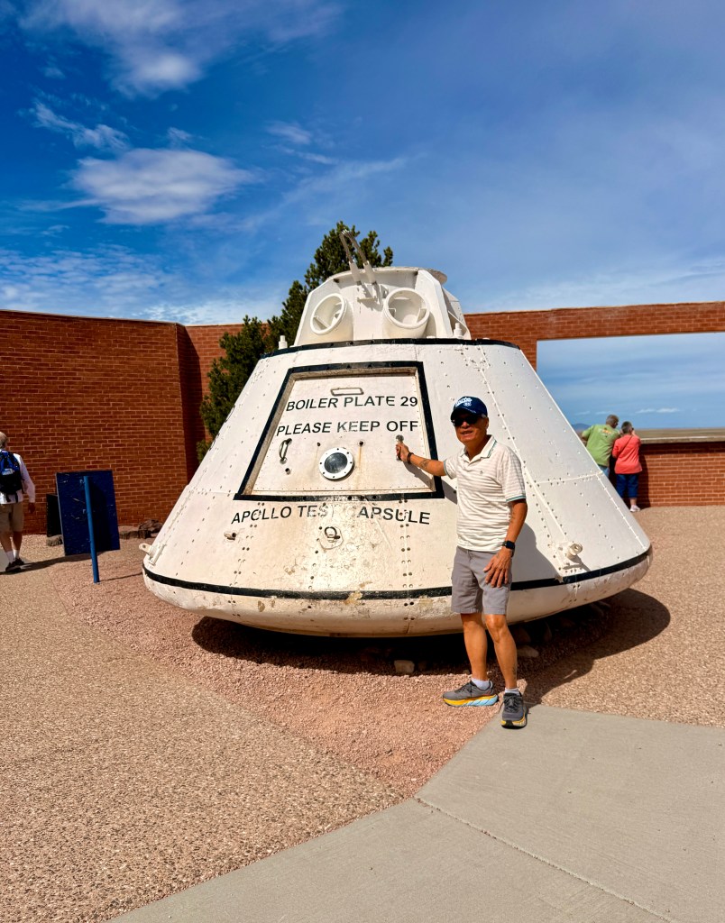
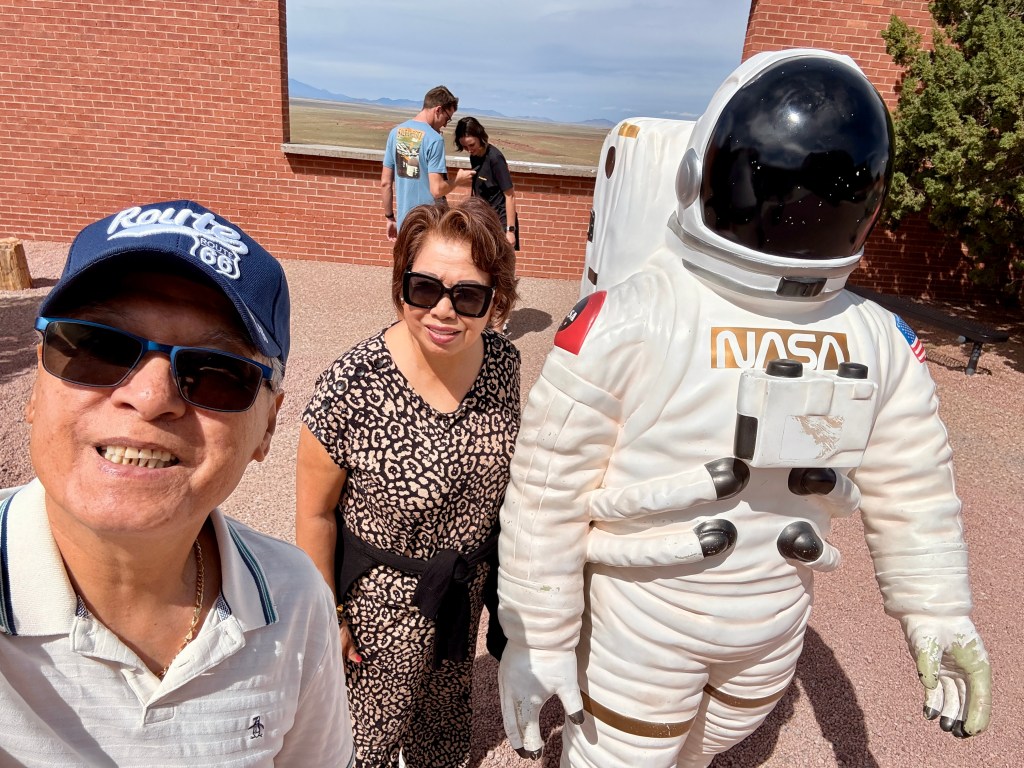
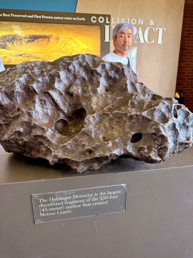
The largest discovered fragment of the meteorite that created Meteor Crater

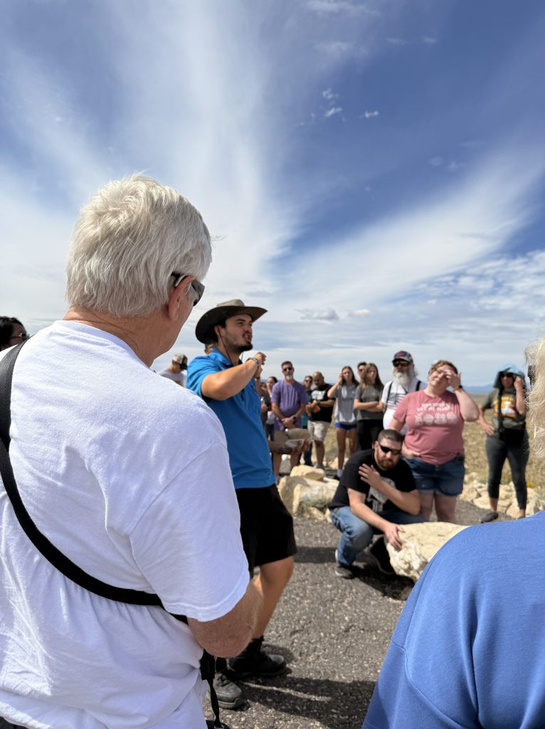
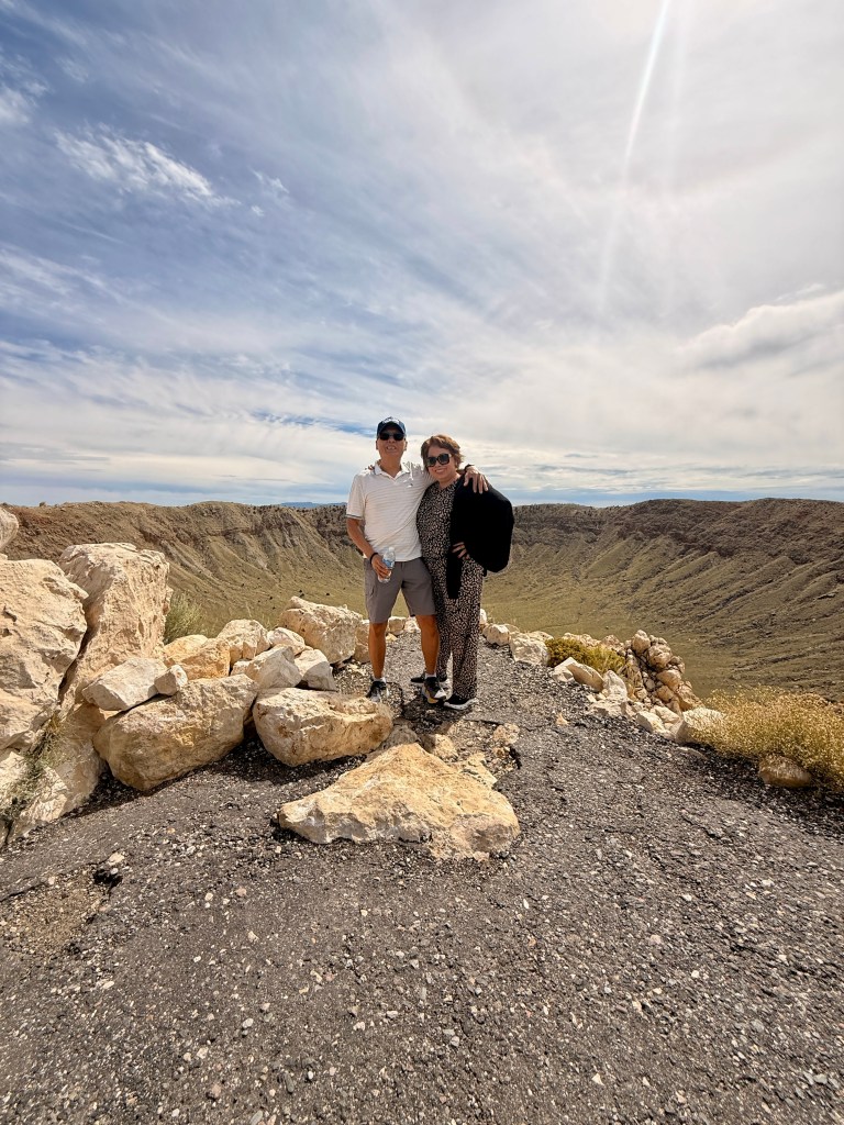
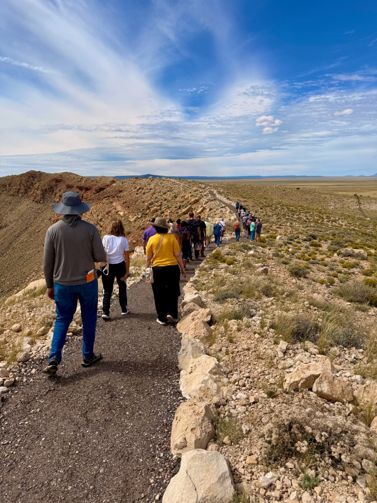
The tour was very organized with a very entertaining guide named Kyle. He was animated and tried to explain scientific facts very plainly and easy to understand. Our group consisted of all ages. We walked a short distance along the crater’s rim in order to admire and visualize the significance of the impact the meteor’s devastating impact!
We drove more than 500 miles this day! We arrived in our hotel, a much better one than that in Williams – Residence Inn by Marriott. A very spacious room with a sitting area and kitchenette. It also had a full-sized refrigerator. Not that all these amenities mattered since we left immediately after breakfast.
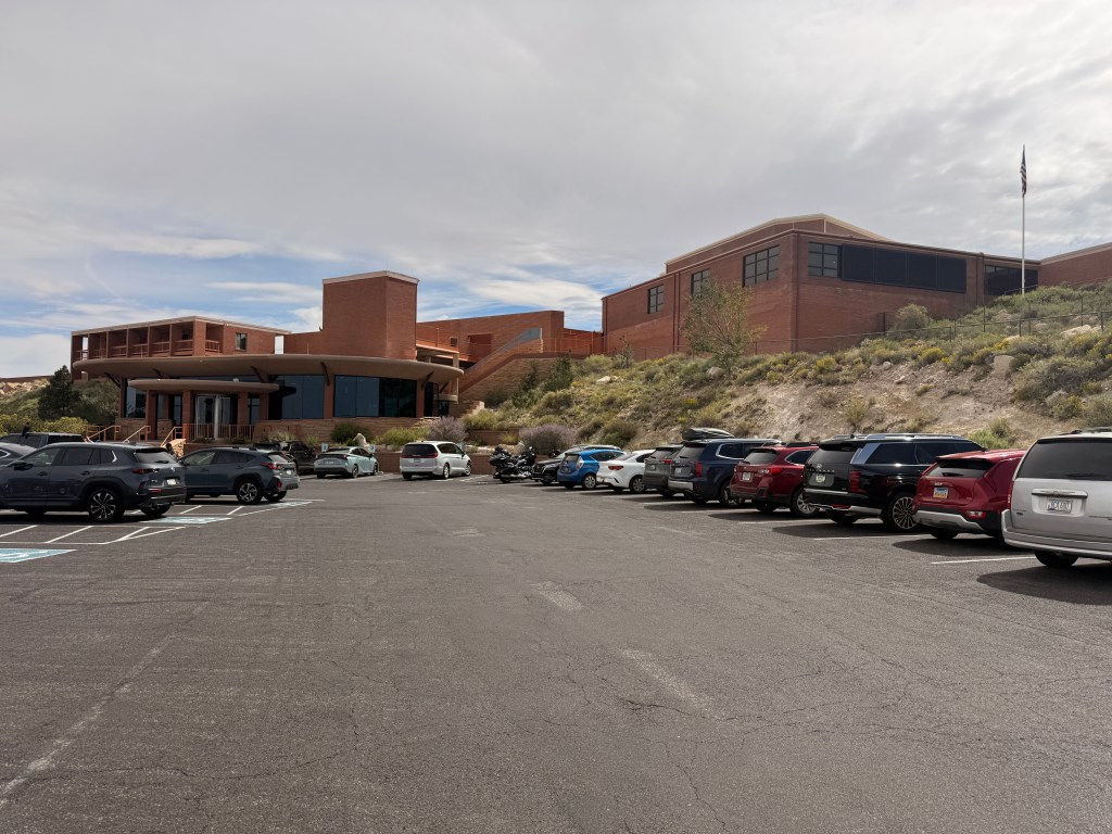
METEOR CRATER AND BARRINGER SPACE MUSEUM

ONE HUNDRED YEARS OF ROUTE 66 – A Road Trip Driving Part of the Mother of All Highways

Birth of the Mother Road

Route 66 was officially commissioned in 1926, linking Chicago to Los Angeles and establishing one of the first coast-to-coast paved highways in the United States. Arizona became a critical segment of this highway, connecting the high plains of the east to the western deserts and the California border. The route followed older trails, rail corridors, and stagecoach paths, adapting the landscape into a navigable highway for the automobile era.

Route 66 always fascinated me and more so when I read about its history and significant contributions to the overall economic and infrastructure development of this country! We initially planned to fly to Chicago where Route 66 starts but altered our plans due to high cost of fuel and airfares. So Trini and I decided to drive a segment of the historic highway so we can at least help celebrate its 100-year anniversary.

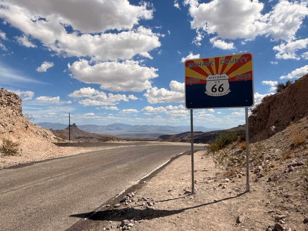
We started in Summerlin Las Vegas where we are residing and drove about 2 hours bypassing Laughlin, NV and going through Bullhead City, Arizona. Although summer was officially over four days ago, temperature was still in the low-90’s. We began the historic drive just outside of Bullhead City where we noticed group of bikers and other vehicles also traversing the famous road. We surmised that they were also celebrating Route 66 Centennial.

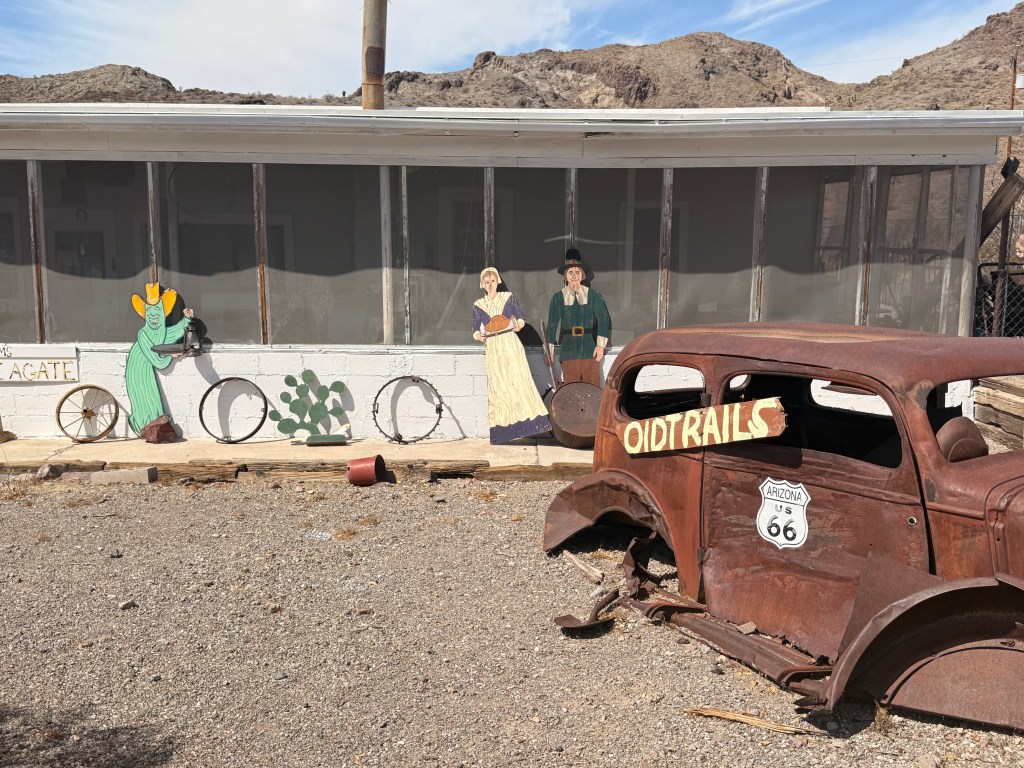
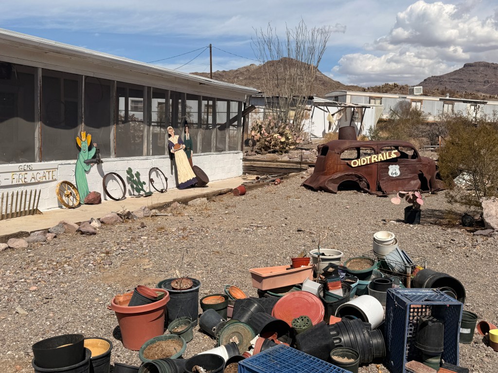
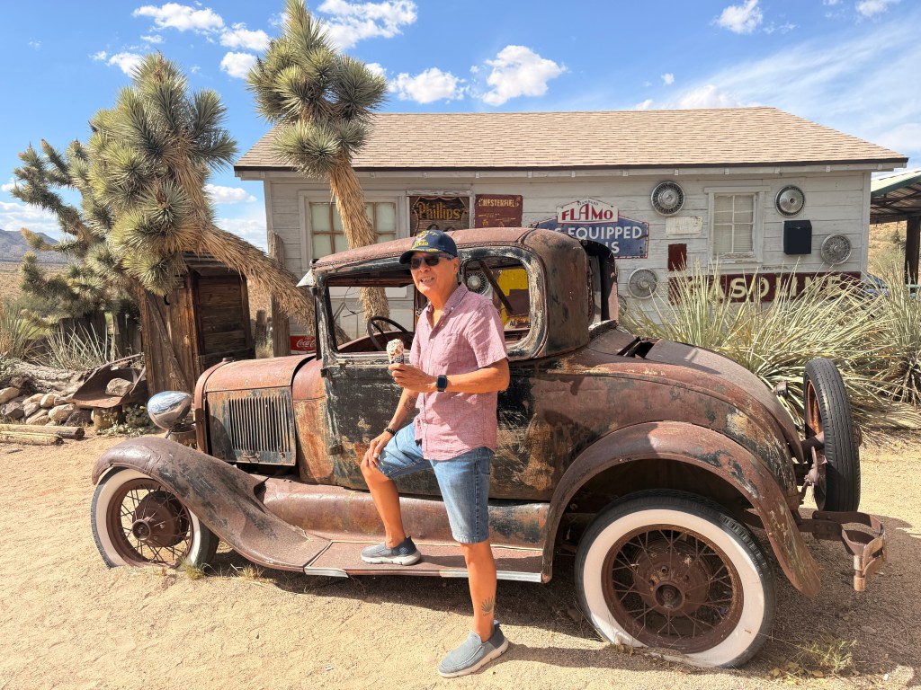
Just before we entered the quaint and rustic town of Oatman, AZ we passed by a “collectible store” with “abandoned” vintage vehicles.

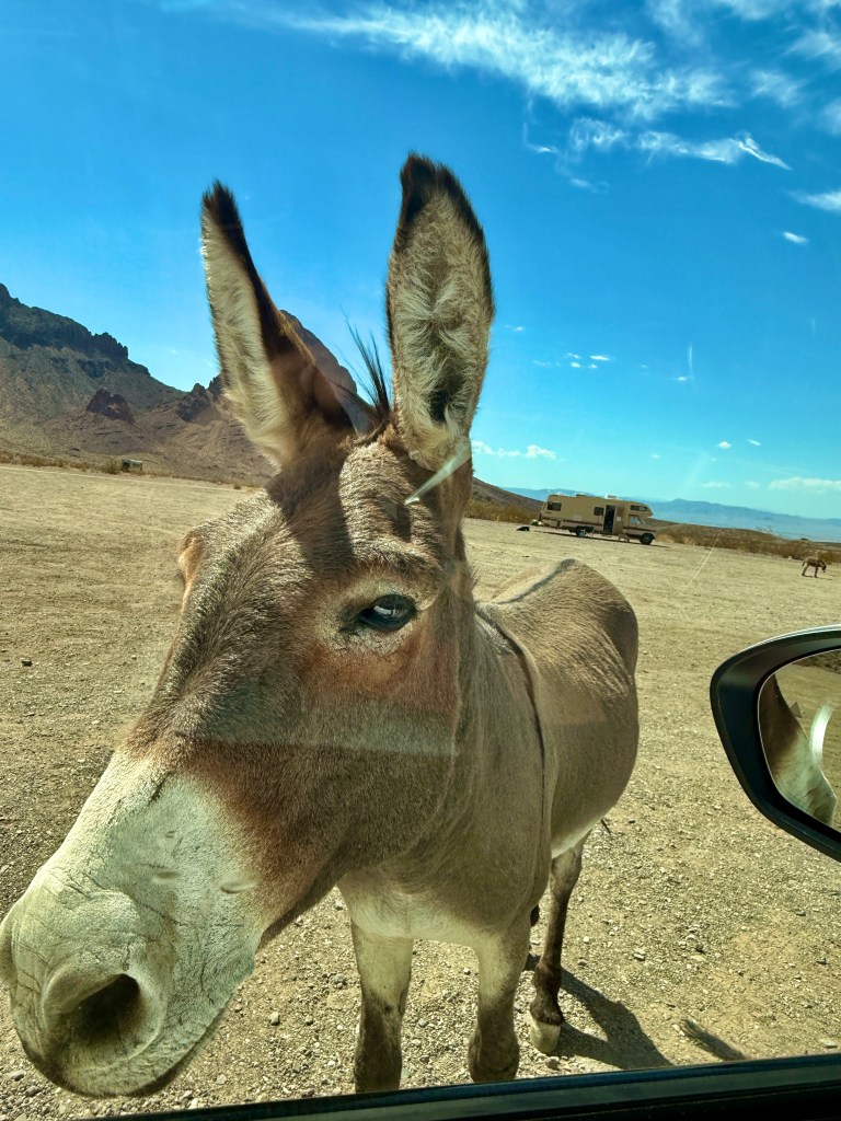
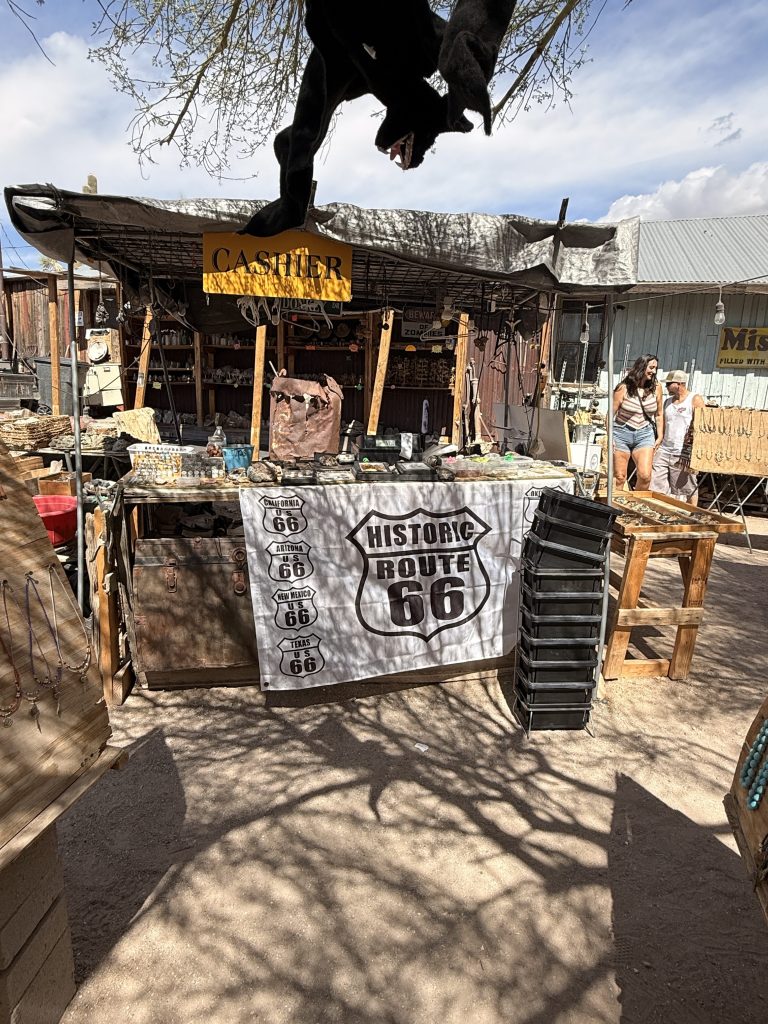
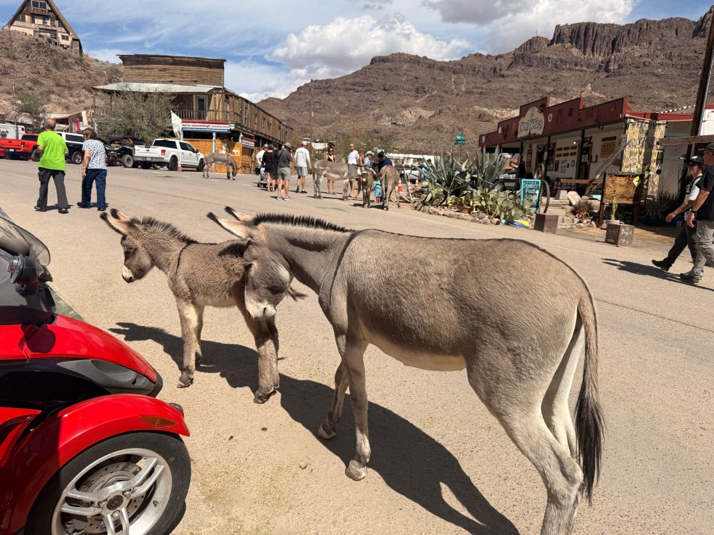
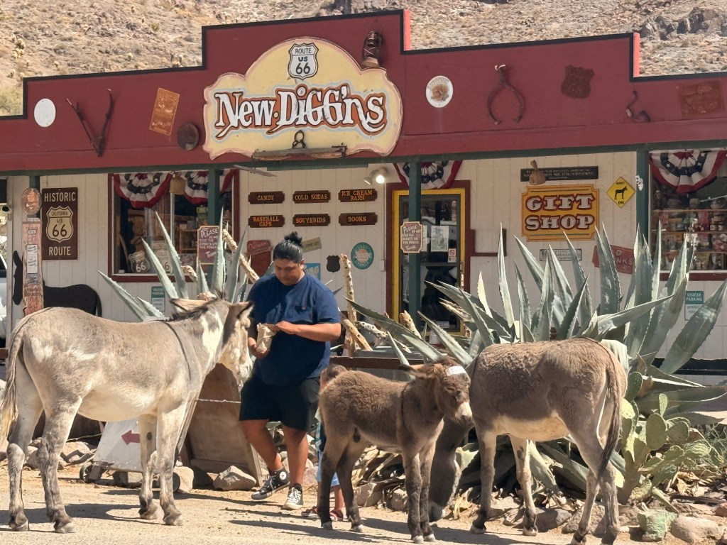
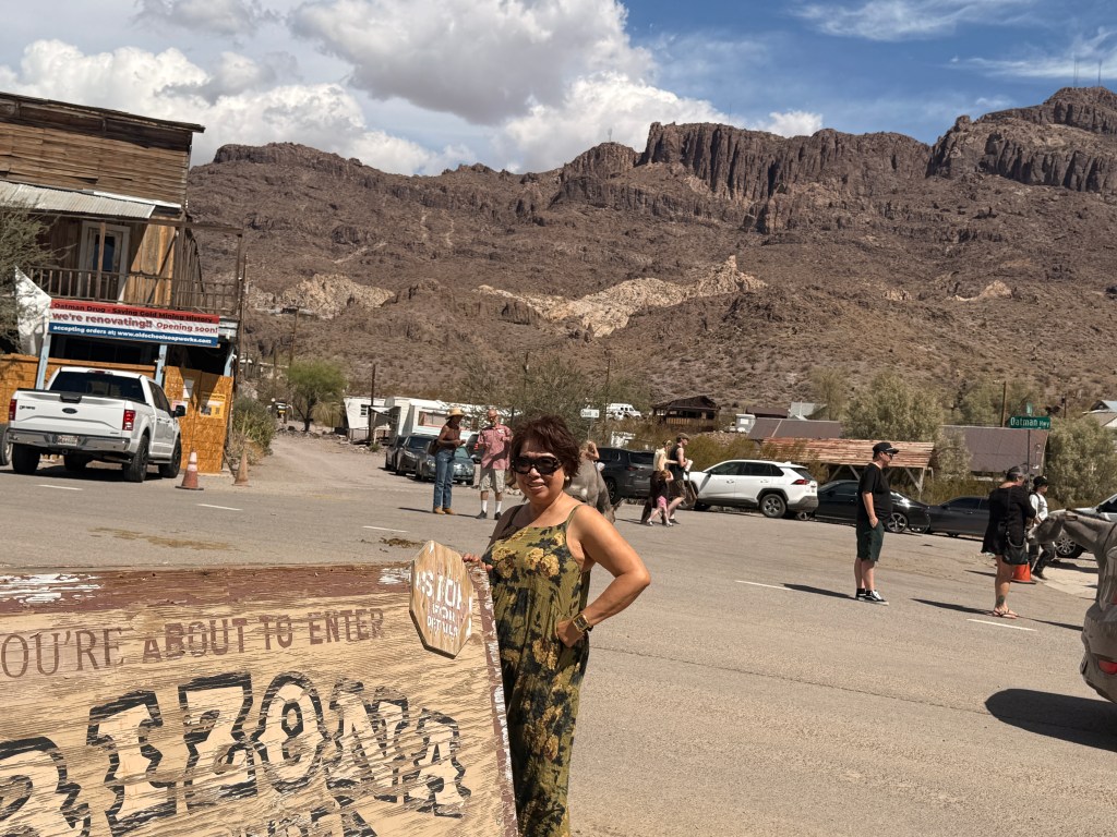
We stopped by a scenic view point where we noticed several stray donkeys (we realized they were the main tourist attraction in the area). One of them came to my window waiting to be fed (they got used to the tourists feeding them). After a few more minutes of driving we reached Oatman. We were surprised to see the dirt parking lot filled with visitors. There were stores selling all kinds of semi-precious stones and necklaces and other take-me-home-and-forget-me mementos. I bought the obligatory magnet to join the others in my refrigerator.

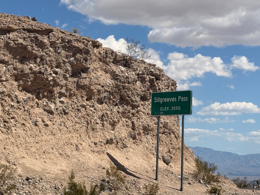
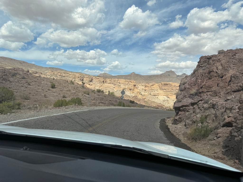
After browsing the different unique merchandise we decided to continue on and see what awaits us ahead. This portion of Route 66 is called Sitgreaves Pass Scenic Drive. It was an elevated highway with a maximum speed of 15 mph due to the narrow serpentine winding road. My eyes were constantly on the road to avoid going over the steep ravine, hence, I did not enjoy the so-called “scenic drive”. The up and down curves took us almost an hour.

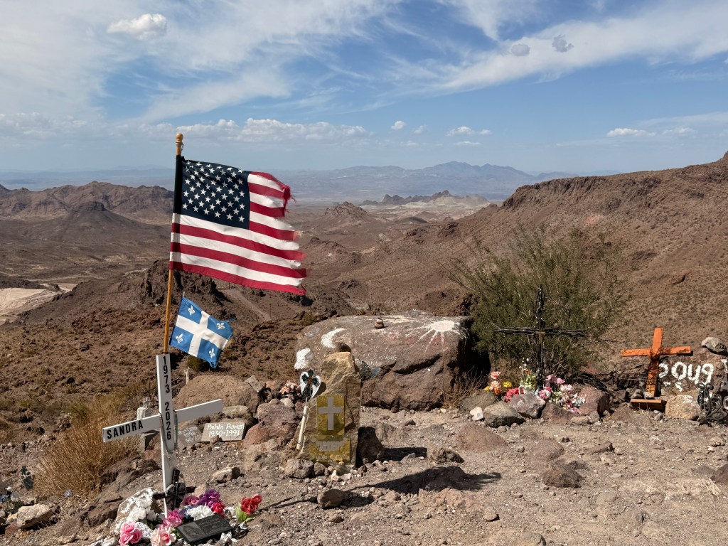
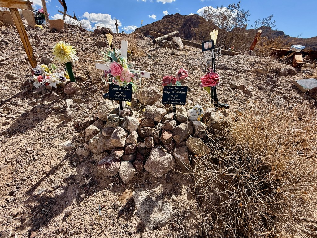
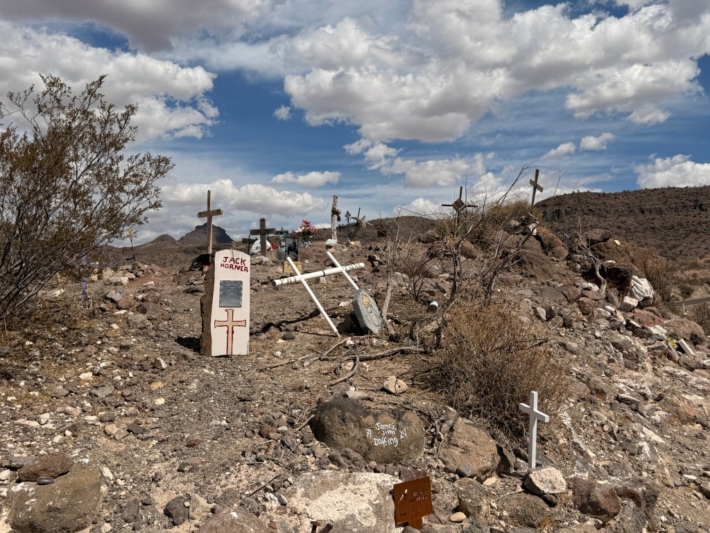
I noticed several people on top of a hill from a distance and was curious as to what they were doing there so I decided to find out. I parked the car on a bumpy dirt road where two other cars were already parked. I walked a short distance to the other side of the parking area and immediately saw numerous crosses of different sizes and styles with names engraved I surmised were the loved ones of whoever placed the crosses there. A slightly tattered U.S. flag was billowing from the breeze overlooking the valley below!

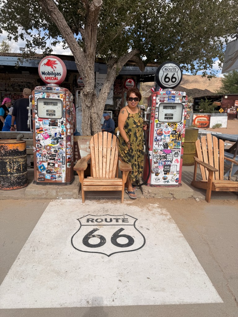
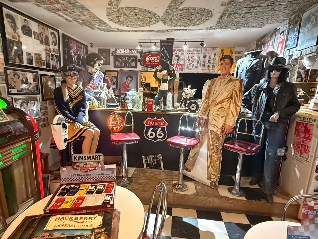
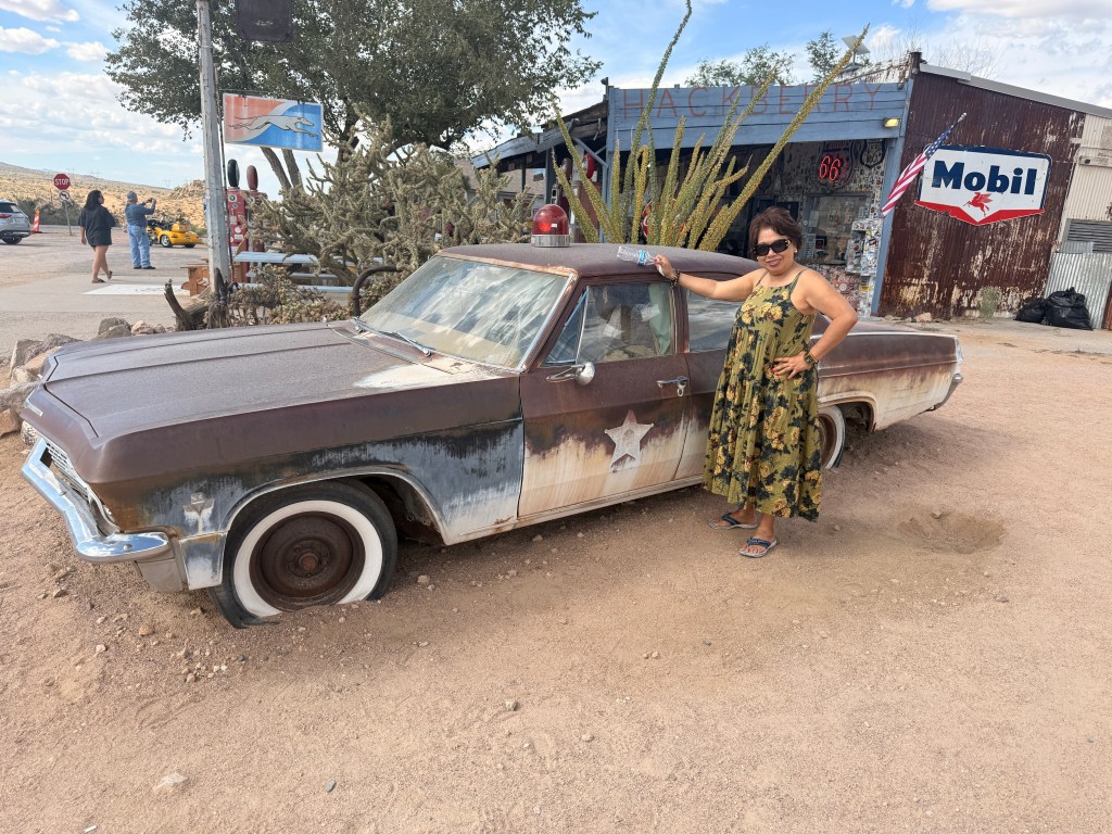
We heaved a sigh of relief when we sighted the end of the dizzying Sitgreaves Pass, not only was the road straight and it was also wider! Driving past a small town of Hackeberry we came upon a trading post. By this time, we really needed to use the rest room. On the grounds were several vintage American automobiles and one of them was similar to the car Martin Sheen drove in California Kid. There were old vending machines and gas pumps.

After purchasing a Route 66 ball cap to add to my already increasing collection, Trini and I decided to continue on to our hotel as it was already past 3:00 pm. The route did not look as interesting as the ones we left and there was no sign of the historical highway although we were still traversing it. We passed a sign that said that we were entering Hualapai Reservation although nothing on both sides of the road would indicate that. We noticed a cargo train on our right that seemed to be endless, we could not see the end nor the front. Finally, at one point, I guess I was driving faster than the train, we caught up with the front end!

We reached Williams, AZ where we booked a room for the night. I remember that more than twenty years ago we took the Grand Canyon train from this quaint town. We drove a total of almost 300 miles today.

Tomorrow our destination is Albuquerque, NM. This segment of Route 66 has been incorporated with the modern freeways but we plan on stopping at the Meteor Crater and Petrified Forest National Park.